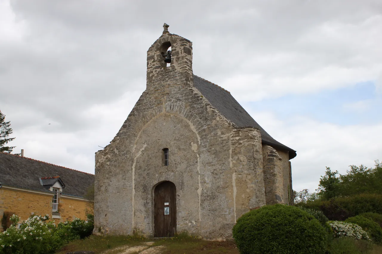
Chapelle de Soussigné
chapelle
Mérimée ID
PA00109171
French architectural heritage database reference.
Protection
Classé (1965)
Status under the French Heritage Act.
Identification & Protection
| Field | Value |
|---|---|
| Mérimée ID | PA00109171 |
| Type | Chapelle |
| Protection | classé MH |
| Protection year | 1965 |
| Period | 14e siècle;18e siècle |
| Commune | Martigné-Briand |
| Département | Maine-et-Loire |
Protection scope
Chapelle de Soussigné (cad. D 1002) : classement par arrêté du 3 juillet 1965
View PA00109171 in the Mérimée database
Heritage of Martigné-Briand
6 other protected monuments share this commune.
| Monument | Type | Protection | Year |
|---|---|---|---|
| Château de Martigné-Briand | Château | classé MH | 1926 |
| Polissoir de Martigné-Briand | Polissoir | inscrit MH | 1982 |
| Menhir de Martigné-Briand | Menhir | inscrit MH | 1982 |
| Château de Villeneuve | Château | inscrit MH | 1992 |
| Château des Noyers de Martigné-Briand | Château | inscrit MH partiellement | 1996 |
| Eglise Saint-Simplicien | église | inscrit MH | 2015 |
Other 14e siècle monuments in Maine-et-Loire
- Eglise de Morannes (Morannes) — église
- Château d'Angers (Angers) — Château
- Manoir de Chauvigné de Saint-Rémy-la-Varenne (Saint-Rémy-la-Varenne) — Manoir
- Porte du Moulin de Montreuil-Bellay (Montreuil-Bellay) — Porte
- Eglise de Champtocé-sur-Loire (Champtocé-sur-Loire) — église
- Chapelle Saint-Jean de Montfaucon (Montfaucon) — Chapelle
- Eglise de Saint-Hilaire (Saumur) — église
- Eglise de Dénezé-sous-Doué (Dénezé-sous-Doué) — église
Heritage typology of Maine-et-Loire
| Edifice type | Count |
|---|---|
| Château | 136 |
| église | 131 |
| Maison | 70 |
| Manoir | 63 |
| Moulin | 35 |
| Hôtel | 27 |
| Chapelle * | 27 |
| Dolmen | 22 |
| Menhir | 18 |
| Prieuré | 17 |
| Abbaye | 14 |
| Immeuble | 13 |
* This monument is a chapelle — one of 27 in the département.
Location
GPS: 47.2580°N, -0.4066°E (WGS 84).
Source: Ministère de la Culture — base Mérimée. Updated: April 14, 2026.
Geographic location
location_on
Martigné-Briand, Maine-et-Loire
Coordinates: 47.2580°N, -0.4066°E