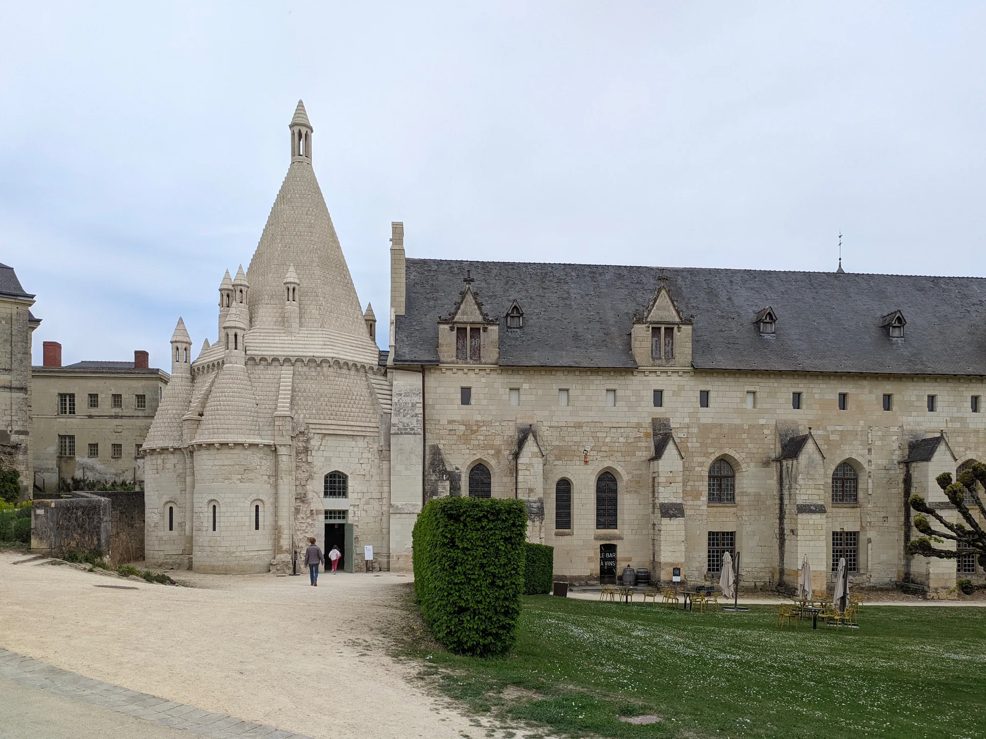
Chapelle du prieuré de Belvau
prieuré;chapelle
PA41000036
French architectural heritage database reference.
Inscrit (2006)
Status under the French Heritage Act.
Historical notice
Cette chapelle est le dernier témoignage de l'implantation de chanoines réguliers de Saint-Augustin sur ce site. L'acte de fondation du prieuré remonte à 1034. L'édifice présente les caractéristiques architecturales de la fin du 12e siècle. En 1562, le prieuré est pillé par les protestants. Vendue à la Révolution, la chapelle est transformée en habitation. L'édifice est abandonné après la première guerre mondiale. Il témoigne des premières tentatives du style gothique de l'ouest, dans la partie sud du Loir-et-Cher. Certaines sculptures ont conservé leur polychromie.
Identification & Protection
| Field | Value |
|---|---|
| Mérimée ID | PA41000036 |
| Type | Prieuré;chapelle |
| Protection | inscrit MH |
| Protection year | 2006 |
| Period | limite 12e siècle 13e siècle |
| Ownership | propriété privée |
| Commune | Faverolles-sur-Cher |
| Département | Loir-et-Cher |
Protection scope
La chapelle du prieuré en totalité (cad. AM 39) : inscription par arrêté du 22 septembre 2006
View PA41000036 in the Mérimée database
Heritage typology of Loir-et-Cher
| Edifice type | Count |
|---|---|
| église | 96 |
| Château | 74 |
| Maison | 70 |
| Manoir | 14 |
| Dolmen | 12 |
| Hôtel | 11 |
| Prieuré | 9 |
| Chapelle | 9 |
| église paroissiale | 7 |
| Pont | 7 |
| Abbaye | 7 |
| édifice fortifié | 6 |
* This monument is a prieuré;chapelle — one of 0 in the département.
Location
GPS: 47.3025°N, 1.1909°E (WGS 84).
Source: Ministère de la Culture — base Mérimée. Updated: April 14, 2026.
Geographic location
Coordinates: 47.3025°N, 1.1909°E