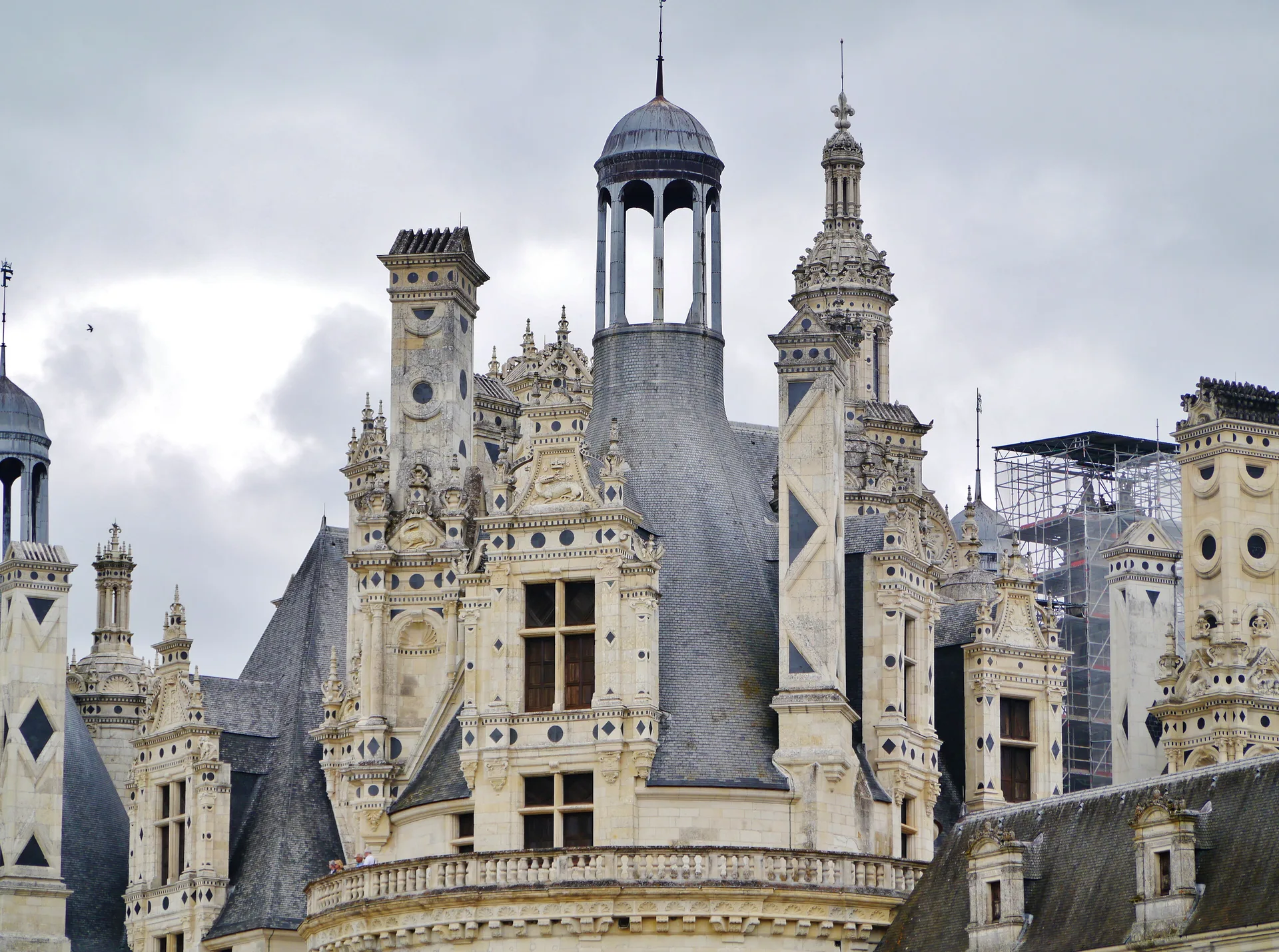
Château de Azay-le-Rideau
château
PA00097546
French architectural heritage database reference.
Classé (1914)
Status under the French Heritage Act.
Historical notice
En 1355, le donjon de Hugues Rideau est brûlé par les Anglais. Gilles Berthelot le fait raser pour édifier, sur cet emplacement, le bâtiment actuel, qui aurait été construit par l'architecte Etienne Rousseau, de 1518 à 1529. Restaurations au 19e siècle. Le château a été acquis par l'Etat le 11 août 1905.
Identification & Protection
| Field | Value |
|---|---|
| Mérimée ID | PA00097546 |
| Type | Château |
| Protection | classé MH |
| Protection year | 1914 |
| Period | 16e siècle;17e siècle;19e siècle |
| Precise dating | 1529 |
| Attributed architect / author | Rousseau Etienne (architecte) |
| Ownership | propriété de l'Etat |
| Commune | Azay-le-Rideau |
| Département | Indre-et-Loire |
Protection scope
Le château, son parc et ses dépendances (cad. BC 253, 254, 277, 278, 282 à 285, 466, 523 ; AR 1, 3, 140, 143) : classement par journal officiel du 18 avril 1914
View PA00097546 in the Mérimée database
Heritage of Azay-le-Rideau
3 other protected monuments share this commune.
| Monument | Type | Protection | Year |
|---|---|---|---|
| Eglise Saint-Symphorien | église | classé MH | 1908 |
| Château du Val d'Auray (ou d'Aulnay) | Château | inscrit MH | 1942 |
| Château de la Chatonnière | Château | inscrit MH partiellement | 1976 |
Other 16e siècle monuments in Indre-et-Loire
- Château de Mesvres de Civray-de-Touraine (Civray-de-Touraine) — Château
- Manoir du Rouvre de Neuvy-le-Roi (Neuvy-le-Roi) — Manoir
- Eglise paroissiale Saint-Martin (Mosnes) — église
- Eglise paroissiale Notre-Dame (Sepmes) — église paroissiale
- Hôtel dit Bodard de la Jacopière (Chinon) — Hôtel
- Prieuré Notre-Dame de Chenusson (Saint-Laurent-en-Gâtines) — Prieuré
- Château de l'Islette de Cheillé (Cheillé) — Château
- Maison à pans de bois (Luynes) — Maison
Heritage typology of Indre-et-Loire
| Edifice type | Count |
|---|---|
| Maison | 200 |
| église | 167 |
| Château * | 147 |
| Manoir | 71 |
| Hôtel | 37 |
| Chapelle | 23 |
| Abbaye | 18 |
| Prieuré | 16 |
| église paroissiale | 11 |
| Monument | 10 |
| édifice fortifié | 9 |
| Immeuble | 9 |
* This monument is a château — one of 147 in the département.
Location
GPS: 47.2589°N, 0.4656°E (WGS 84).
Source: Ministère de la Culture — base Mérimée. Updated: April 14, 2026.
Geographic location
Coordinates: 47.2589°N, 0.4656°E