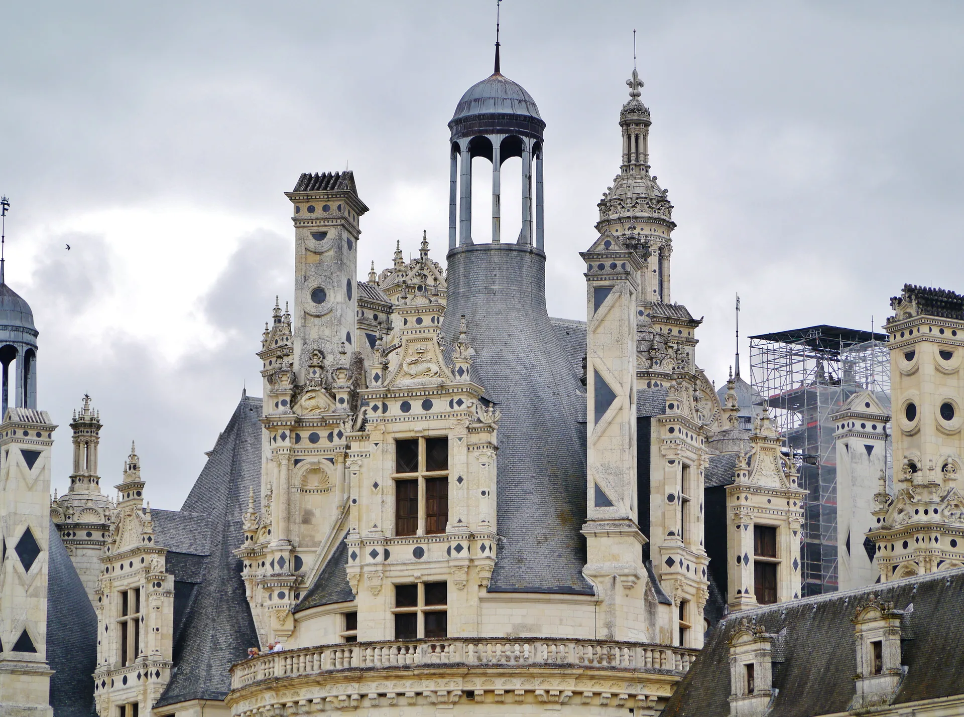
Château de la Beaugisière
château
Mérimée ID
PA00110315
French architectural heritage database reference.
Protection
Inscrit (1993)
Status under the French Heritage Act.
Historical notice
Demeure du 18e siècle, époque peu représentée dans la région. Soubassement taluté, cf architecture militaire.
Protection timeline
| Date | Event |
|---|---|
| 31 March 1993 | inscrit MH |
| 1 September 2006 | inscrit MH |
Identification & Protection
| Field | Value |
|---|---|
| Mérimée ID | PA00110315 |
| Type | Château |
| Protection | inscrit MH |
| Protection year | 1993 |
| Period | 2e quart 18e siècle |
| Precise dating | 1747 |
| Ownership | propriété privée |
| Commune | Saint-Michel-le-Cloucq |
| Département | Vendée |
Protection scope
Le château, la chapelle, le puits (cad. C 283) ; les parties ordonnancées du parc (cad. C 282, 283, 285) : inscription par arrêté du 31 mars 1993 – La partie de l'allée du château située sur la parcelle ZL 22 : inscription par arrêté du 1er septembre 2006
View PA00110315 in the Mérimée database
Heritage typology of Vendée
| Edifice type | Count |
|---|---|
| église | 86 |
| Château * | 57 |
| Maison | 30 |
| Menhir | 28 |
| Manoir | 15 |
| Dolmen | 13 |
| Pont | 11 |
| Immeuble | 10 |
| Abbaye | 10 |
| Moulin | 8 |
| Prieuré | 7 |
| Phare | 7 |
* This monument is a château — one of 57 in the département.
Location
GPS: 46.4835°N, -0.7334°E (WGS 84).
Source: Ministère de la Culture — base Mérimée. Updated: April 14, 2026.
Geographic location
location_on
Saint-Michel-le-Cloucq, Vendée
Coordinates: 46.4835°N, -0.7334°E