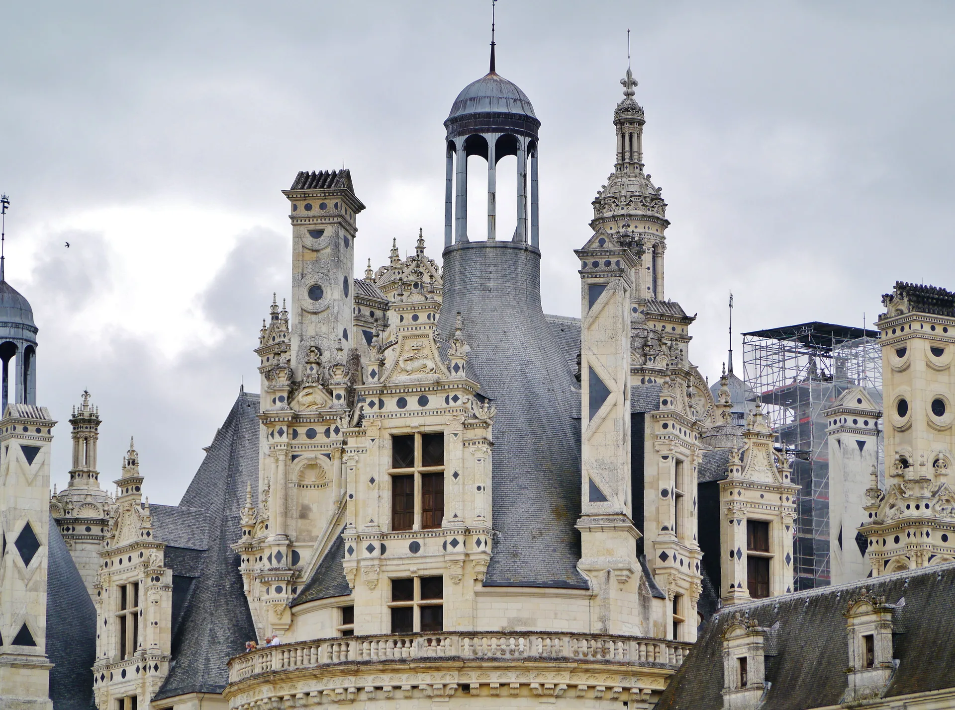
Château de la Croisnière
château
Mérimée ID
PA00109616
French architectural heritage database reference.
Protection
Inscrit (1935)
Status under the French Heritage Act.
Identification & Protection
| Field | Value |
|---|---|
| Mérimée ID | PA00109616 |
| Type | Château |
| Protection | inscrit MH |
| Protection year | 1935 |
| Period | 17e siècle |
| Ownership | propriété privée |
| Commune | Saulges |
| Département | Mayenne |
Protection scope
Château de la Croisnière : inscription par arrêté du 7 octobre 1935
View PA00109616 in the Mérimée database
Heritage of Saulges
3 other protected monuments share this commune.
| Monument | Type | Protection | Year |
|---|---|---|---|
| Moulin de Thévalles de Saulges | Moulin | — | — |
| Eglise Saint-Pierre de Saulges | église | inscrit MH | 1984 |
| Château de Soulgé de Saulges | Château | inscrit MH | 1988 |
Other 17e siècle monuments in Mayenne
- Hôtel dit de Lantivy de Château-Gontier (Château-Gontier) — Hôtel
- Ancienne abbaye cistercienne de Clairmont (Olivet;La Brûlatte) — Abbaye
- Château des Linières de Ballée (Ballée) — Château
- Manoir de Fontenelle de Laigné (Laigné) — Manoir
- Château et parc du Puy (Ruillé-Froid-Fonds) — Château
- Eglise Saint-Vénérand (Laval) — église
- Château et parc d'Hauterive (Argentré) — Château
- Château de la Lande de Niafles (Niafles) — Château
Heritage typology of Mayenne
| Edifice type | Count |
|---|---|
| Château * | 62 |
| église | 31 |
| Manoir | 17 |
| Maison | 14 |
| Menhir | 14 |
| Chapelle | 13 |
| Hôtel | 11 |
| église paroissiale | 7 |
| Prieuré | 5 |
| Abbaye | 5 |
| Allée couverte | 4 |
| Fontaine | 4 |
* This monument is a château — one of 62 in the département.
Location
GPS: 47.9832°N, -0.4245°E (WGS 84).
Source: Ministère de la Culture — base Mérimée. Updated: April 14, 2026.
Geographic location
location_on
Saulges, Mayenne
Coordinates: 47.9832°N, -0.4245°E