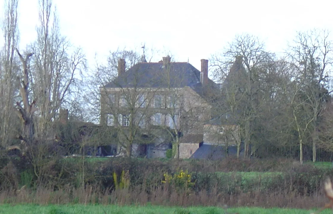
Château de la Sorinière
château
Mérimée ID
PA00109041
French architectural heritage database reference.
Protection
Classé (1921)
Status under the French Heritage Act.
Identification & Protection
| Field | Value |
|---|---|
| Mérimée ID | PA00109041 |
| Type | Château |
| Protection | classé MH partiellement |
| Protection year | 1921 |
| Ownership | propriété de la commune |
| Commune | Chemillé |
| Département | Maine-et-Loire |
Protection scope
Chapelle : classement par arrêté du 16 février 1921
View PA00109041 in the Mérimée database
Heritage of Chemillé
5 other protected monuments share this commune.
| Monument | Type | Protection | Year |
|---|---|---|---|
| Eglise Notre-Dame de Chemillé | église | classé MH partiellement | 1862 |
| Eglise Saint-Pierre de Chemillé | église | classé MH partiellement | 1969 |
| Château (ancien) de Chemillé | Château | classé MH partiellement;inscrit MH partiellement;protection partielle | 1976 |
| Eglise Notre-Dame la Neuve | église | inscrit MH | 2006 |
| Château des Cloîtres de Chemillé | Château | inscrit MH partiellement | 2012 |
Heritage typology of Maine-et-Loire
| Edifice type | Count |
|---|---|
| Château * | 136 |
| église | 131 |
| Maison | 70 |
| Manoir | 63 |
| Moulin | 35 |
| Hôtel | 27 |
| Chapelle | 27 |
| Dolmen | 22 |
| Menhir | 18 |
| Prieuré | 17 |
| Abbaye | 14 |
| Immeuble | 13 |
* This monument is a château — one of 136 in the département.
Location
GPS: 47.2211°N, -0.6983°E (WGS 84).
Source: Ministère de la Culture — base Mérimée. Updated: April 14, 2026.
Geographic location
location_on
Chemillé, Maine-et-Loire
Coordinates: 47.2211°N, -0.6983°E