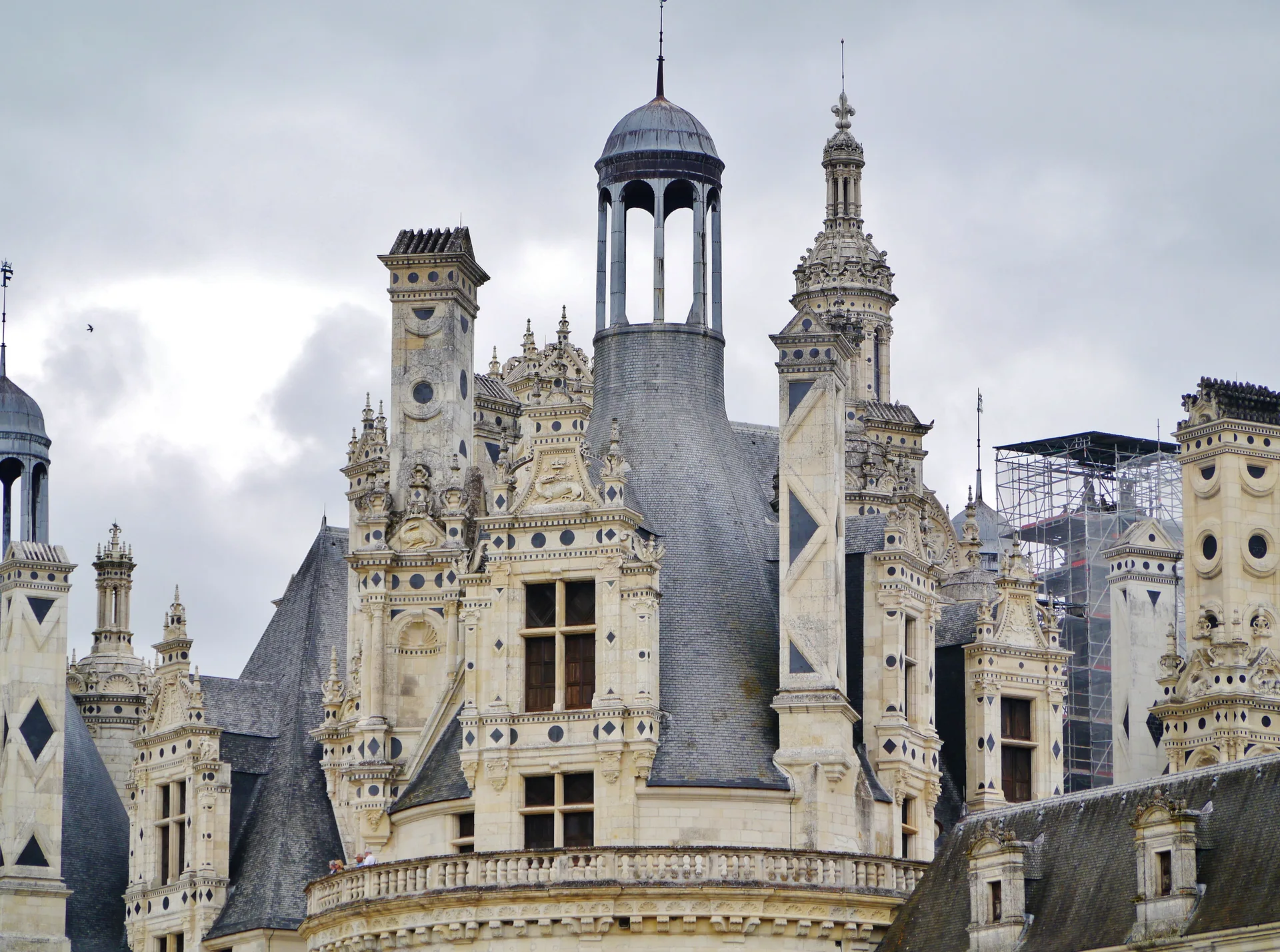
Château (donjon et ruines)
château
Mérimée ID
PA00109676
French architectural heritage database reference.
Protection
Classé (1923)
Status under the French Heritage Act.
Identification & Protection
| Field | Value |
|---|---|
| Mérimée ID | PA00109676 |
| Type | Château |
| Protection | classé MH |
| Protection year | 1923 |
| Period | 15e siècle;16e siècle |
| Ownership | propriété privée |
| Commune | Ballon |
| Département | Sarthe |
Protection scope
Château (donjon et ruines) : classement par arrêté du 9 février 1923
View PA00109676 in the Mérimée database
Other 15e siècle monuments in Sarthe
- Château de Verdelles de Poillé-sur-Vègre (Poillé-sur-Vègre) — Château
- Ancienne abbaye Saint-Vincent, actuellement lycée Bellevue (Le Mans) — Site archéologique;abbaye
- Chapelle d'Etival de Chemiré-en-Charnie (Chemiré-en-Charnie) — Chapelle
- Prieuré (ancien) de Château-l'Hermitage (Château-l'Hermitage) — Prieuré
- Château de Sourches de Saint-Symphorien (Saint-Symphorien) — Château
- Château de Bonnetable (également sur commune de Briosne-les-Sables) (Bonnétable) — Château
- Manoir dit Le Logis de Fontenay (Fontenay-sur-Vègre) — Manoir
- Manoir de Combres de Moitron-sur-Sarthe (Moitron-sur-Sarthe) — Manoir
Heritage typology of Sarthe
| Edifice type | Count |
|---|---|
| église | 101 |
| Château * | 76 |
| Manoir | 39 |
| Maison | 35 |
| Voirie | 22 |
| Hôtel | 17 |
| église paroissiale | 15 |
| Chapelle | 11 |
| Prieuré | 9 |
| Menhir | 8 |
| Dolmen | 6 |
| Pont | 5 |
* This monument is a château — one of 76 in the département.
Location
GPS: 48.1789°N, 0.2330°E (WGS 84).
Source: Ministère de la Culture — base Mérimée. Updated: April 14, 2026.
Geographic location
location_on
Ballon, Sarthe
Coordinates: 48.1789°N, 0.2330°E