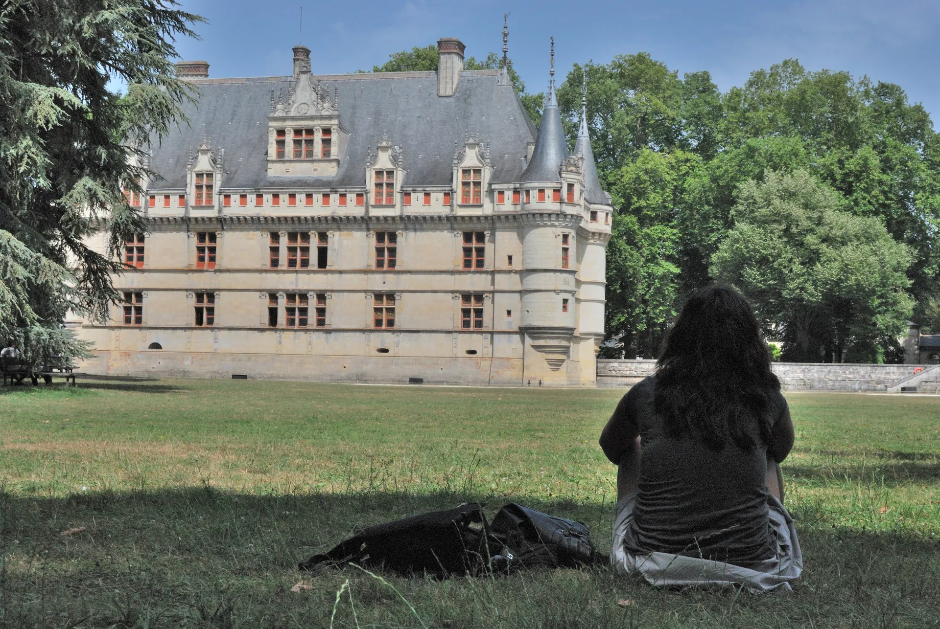
Cromlech de Charcé-Saint-Ellier-sur-Aubance
cromlech;allée couverte
Mérimée ID
PA00109027
French architectural heritage database reference.
Protection
Classé (1889)
Status under the French Heritage Act.
Identification & Protection
| Field | Value |
|---|---|
| Mérimée ID | PA00109027 |
| Type | Cromlech;allée couverte |
| Protection | classé MH |
| Protection year | 1889 |
| Period | Néolithique |
| Ownership | propriété privée |
| Commune | Charcé-Saint-Ellier-sur-Aubance |
| Département | Maine-et-Loire |
Protection scope
Cromlech (cad. B 301) : classement par liste de 1889
View PA00109027 in the Mérimée database
Heritage of Charcé-Saint-Ellier-sur-Aubance
4 other protected monuments share this commune.
| Monument | Type | Protection | Year |
|---|---|---|---|
| Dolmen de Charcé-Saint-Ellier-sur-Aubance | Dolmen | classé MH | 1889 |
| Moulin à vent dit moulin de Patouillet | Moulin | inscrit MH | 1977 |
| Eglise Saint-Pierre de Charcé | église paroissiale;prieuré | inscrit MH partiellement | 2001 |
| Logis de la Bluttière | Maison | inscrit MH partiellement | 2006 |
Other Néolithique monuments in Maine-et-Loire
- Menhir dit La Pierre debout (Aviré) — Menhir
- Dolmen dit la Pierre au Loup (Seiches-sur-le-Loir) — Dolmen
- Dolmen dit La Petite Pierre Couverte (Saumur) — Dolmen
- Menhir du moulin à vent de Normandeau (La Renaudière) — Menhir
- Dolmen de la Maison des Fées (Miré) — Dolmen
- Menhir de la Garde ou Pierre à l'huile (Cholet) — Menhir
- Menhir de la Pierre de Lenay (Montreuil-Bellay) — Menhir
- Menhir dit de l'Accomodement (Montreuil-Bellay) — Menhir
Heritage typology of Maine-et-Loire
| Edifice type | Count |
|---|---|
| Château | 136 |
| église | 131 |
| Maison | 70 |
| Manoir | 63 |
| Moulin | 35 |
| Hôtel | 27 |
| Chapelle | 27 |
| Dolmen | 22 |
| Menhir | 18 |
| Prieuré | 17 |
| Abbaye | 14 |
| Immeuble | 13 |
* This monument is a cromlech;allée couverte — one of 0 in the département.
Location
GPS: 47.3611°N, -0.4181°E (WGS 84).
Source: Ministère de la Culture — base Mérimée. Updated: April 14, 2026.
Geographic location
location_on
Charcé-Saint-Ellier-sur-Aubance, Maine-et-Loire
Coordinates: 47.3611°N, -0.4181°E