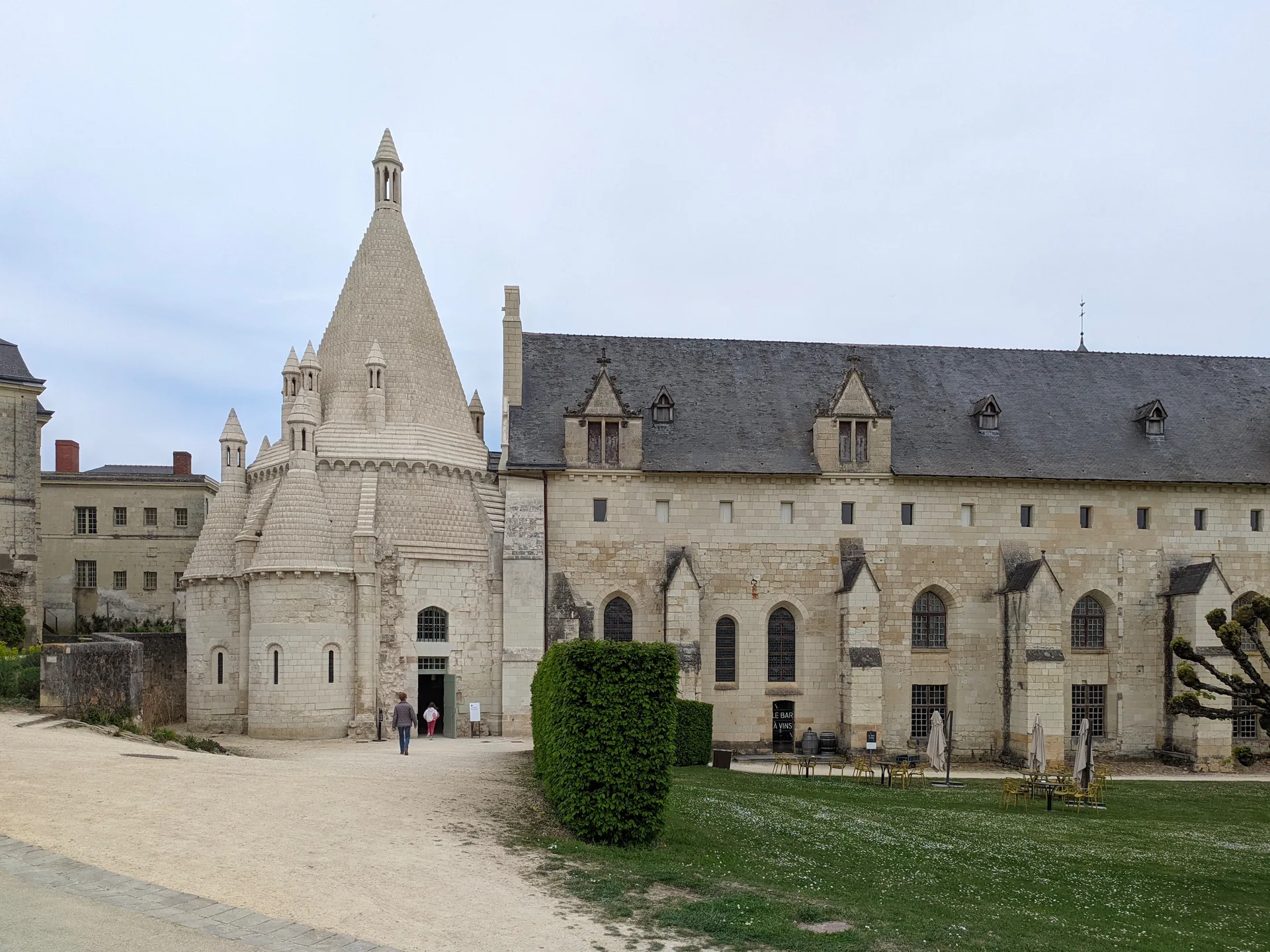
Eglise du cimetière (église Saint-Léger du Vieux-Bourg)
église
Mérimée ID
PA00097718
French architectural heritage database reference.
Protection
Classé (1913)
Status under the French Heritage Act.
Historical notice
L'église remonterait en partie à l'époque carolingienne et conserve des pilastres à entrelacs primitifs.
Identification & Protection
| Field | Value |
|---|---|
| Mérimée ID | PA00097718 |
| Type | église |
| Protection | classé MH |
| Protection year | 1913 |
| Period | Moyen Age |
| Ownership | propriété privée |
| Commune | Cravant-les-Côteaux |
| Département | Indre-et-Loire |
Protection scope
Eglise du cimetière (cad. AB 24) : classement par arrêté du 10 février 1913
View PA00097718 in the Mérimée database
Heritage of Cravant-les-Côteaux
4 other protected monuments share this commune.
| Monument | Type | Protection | Year |
|---|---|---|---|
| Château de Cravant, dit Le Vieux Château | Château | inscrit MH | 1945 |
| Vestiges de la chapelle de la Madeleine du Croulay | Chapelle | inscrit MH | 1947 |
| Manoir des Berthaisières | Manoir | inscrit MH partiellement | 1947 |
| Cimetière du Vieux-Bourg | Cimetière | inscrit MH partiellement | 2011 |
Other Moyen Age monuments in Indre-et-Loire
- Tour de Mauvières de Loches (Loches) — édifice fortifié
- Chapelle Saint-Jean-du-Liget (Sennevières) — Chapelle
- Eglise paroissiale Saint-Laurent (Boussay) — église paroissiale
- Château du Plessis-lès-Tours (La Riche) — Château
- Ancienne abbaye de Marmoutier (Tours) — Abbaye
- Ancien prieuré Saint-Léonard (L'Île-Bouchard) — Prieuré
- Site castral de Montbazon (Montbazon) — Château fort;édifice fortifié
- Logis seigneurial de Parçay (Parçay-Meslay) — Demeure
Heritage typology of Indre-et-Loire
| Edifice type | Count |
|---|---|
| Maison | 200 |
| église * | 167 |
| Château | 147 |
| Manoir | 71 |
| Hôtel | 37 |
| Chapelle | 23 |
| Abbaye | 18 |
| Prieuré | 16 |
| église paroissiale | 11 |
| Monument | 10 |
| édifice fortifié | 9 |
| Immeuble | 9 |
* This monument is a église — one of 167 in the département.
Location
GPS: 47.1665°N, 0.3497°E (WGS 84).
Source: Ministère de la Culture — base Mérimée. Updated: April 14, 2026.
Geographic location
location_on
Cravant-les-Côteaux, Indre-et-Loire
Coordinates: 47.1665°N, 0.3497°E