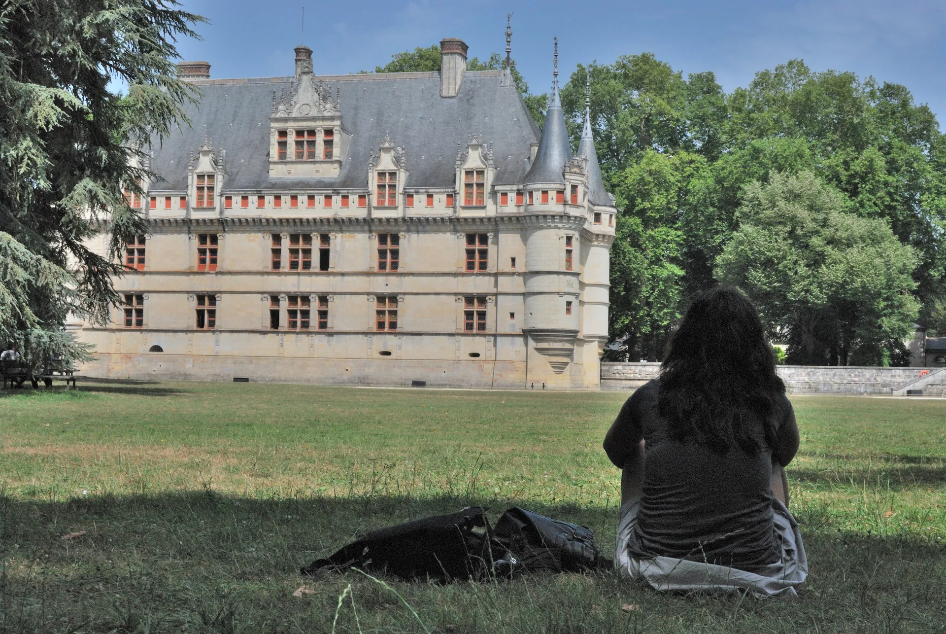
Manoir de la Rabaterie
manoir
PA00097943
French architectural heritage database reference.
Inscrit (1948)
Status under the French Heritage Act.
Historical notice
Cette habitation de la fin du 15e siècle passe pour avoir été celle d'Olivier le Daim, dit Necker. Le manoir se compose d'un bâtiment et de deux ailes inégales en retour d'équerre vers l'ouest. La façade occidentale est divisée par une haute tour carrée contenant l'escalier en vis, et dont la corniche est au niveau du faîte de la toiture.
Identification & Protection
| Field | Value |
|---|---|
| Mérimée ID | PA00097943 |
| Type | Manoir |
| Protection | inscrit MH partiellement |
| Protection year | 1948 |
| Period | 2e moitié 15e siècle |
| Ownership | propriété privée |
| Commune | La Riche |
| Département | Indre-et-Loire |
Protection scope
Les façades, les toitures et la tour d'escalier (cad. AO 153, 357, 432, 433) : inscription par arrêté du 22 mai 1948
View PA00097943 in the Mérimée database
Heritage of La Riche
3 other protected monuments share this commune.
| Monument | Type | Protection | Year |
|---|---|---|---|
| Ancien prieuré de Saint-Cosme | Prieuré | classé MH partiellement;inscrit MH partiellement;protection partielle | 1925 |
| Château du Plessis-lès-Tours | Château | inscrit MH | 1927 |
| Ancien couvent des Grands Minimes du Plessis-lès-Tours | Couvent | inscrit MH partiellement | 2007 |
Other 2e moitié 15e siècle monuments in Indre-et-Loire
- Eglise Saints-Gervais et Protais (Jaulnay) — église
- Château de Genillé (Genillé) — Château
- Vestiges du château de Nouâtre (Nouâtre) — Château
- Château de Jallanges de Vernou-sur-Brenne (Vernou-sur-Brenne) — Château
- Manoir d'Avisé de Limeray (Limeray) — Manoir
- Manoir de Ré (ou Ray) (Le Petit-Pressigny) — Manoir
- Petit Séminaire, ou la Petite Bourdaisière (Tours) — Séminaire
- Ancien château des Archevêques (Artannes-sur-Indre) — Château
Heritage typology of Indre-et-Loire
| Edifice type | Count |
|---|---|
| Maison | 200 |
| église | 167 |
| Château | 147 |
| Manoir * | 71 |
| Hôtel | 37 |
| Chapelle | 23 |
| Abbaye | 18 |
| Prieuré | 16 |
| église paroissiale | 11 |
| Monument | 10 |
| édifice fortifié | 9 |
| Immeuble | 9 |
* This monument is a manoir — one of 71 in the département.
Location
GPS: 47.3859°N, 0.6656°E (WGS 84).
Source: Ministère de la Culture — base Mérimée. Updated: April 14, 2026.
Geographic location
Coordinates: 47.3859°N, 0.6656°E