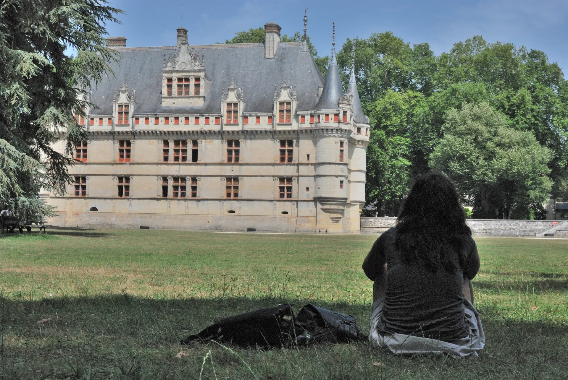
Motte féodale de Moulins-sur-Céphons
édifice fortifié
Mérimée ID
PA00097406
French architectural heritage database reference.
Protection
Classé (1978)
Status under the French Heritage Act.
Identification & Protection
| Field | Value |
|---|---|
| Mérimée ID | PA00097406 |
| Type | édifice fortifié |
| Protection | classé MH |
| Protection year | 1978 |
| Period | Moyen Age |
| Ownership | propriété de la commune |
| Commune | Moulins-sur-Céphons |
| Département | Indre |
Protection scope
Motte féodale (cad. I 173, 507) : classement par arrêté du 27 septembre 1978
View PA00097406 in the Mérimée database
Heritage of Moulins-sur-Céphons
3 other protected monuments share this commune.
| Monument | Type | Protection | Year |
|---|---|---|---|
| Dolmen et cromlech de La Pierre | Dolmen;cromlech | classé MH | 1900 |
| Eglise Saint-Pierre de Moulins-sur-Céphons | église | inscrit MH | 1927 |
| Vestiges d'un camp préhistorique | Camp | inscrit MH | 1982 |
Other Moyen Age monuments in Indre
- Eglise Saint-Martin de Lacs (Lacs) — église
- Château médiéval de Sainte-Sévère-sur-Indre (Sainte-Sévère-sur-Indre) — Château fort;motte
- Rempart médiéval de l'Ilot Villatte (Issoudun) — Enceinte
- "Vestiges du pont "" Perrin "" (également sur commune de Châteauroux)" (Déols) — Pont
- Château d'Ingrandes (Ingrandes) — Château
- Eglise Saint-Sulpice de Niherne (Niherne) — église
- Château de Céré de Saint-Hilaire-sur-Benaize (Saint-Hilaire-sur-Benaize) — Château
- Chapelle de Saint-Mandé (Villentrois) — Chapelle
Heritage typology of Indre
| Edifice type | Count |
|---|---|
| église | 70 |
| Château | 62 |
| Maison | 22 |
| Dolmen | 9 |
| Chapelle | 9 |
| Monument aux morts | 8 |
| église paroissiale | 8 |
| Prieuré | 8 |
| Abbaye | 6 |
| Hôtel | 6 |
| Voie ferrée | 5 |
| Porte de ville | 5 |
* This monument is a édifice fortifié — one of 0 in the département.
Location
GPS: 47.0102°N, 1.5548°E (WGS 84).
Source: Ministère de la Culture — base Mérimée. Updated: April 14, 2026.
Geographic location
location_on
Moulins-sur-Céphons, Indre
Coordinates: 47.0102°N, 1.5548°E