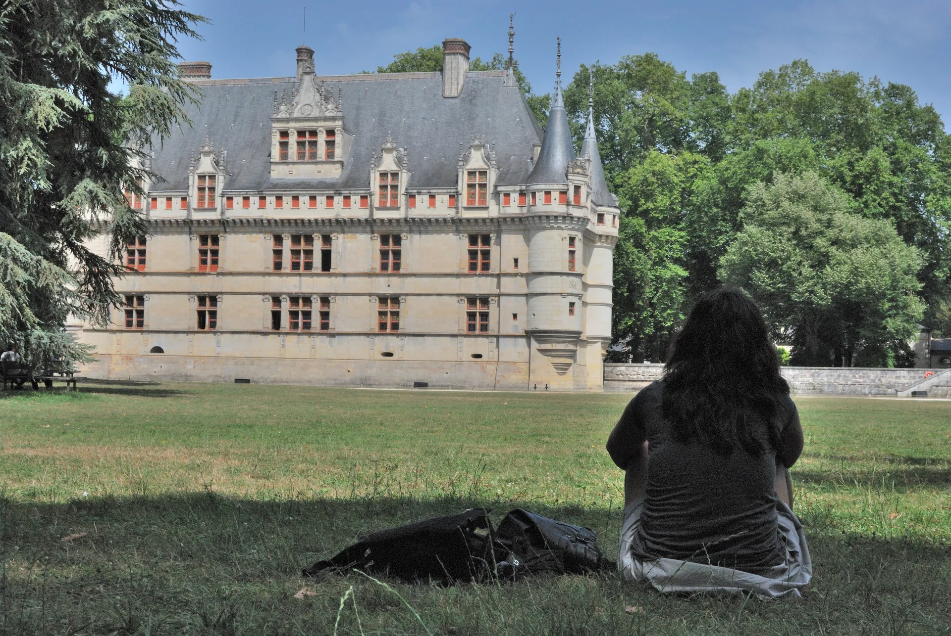
Motte médiévale dite du Plessis-Saint-Rémy
édifice fortifié
Mérimée ID
PA00097206
French architectural heritage database reference.
Protection
Inscrit (1986)
Status under the French Heritage Act.
Identification & Protection
| Field | Value |
|---|---|
| Mérimée ID | PA00097206 |
| Type | édifice fortifié |
| Protection | inscrit MH |
| Protection year | 1986 |
| Period | Moyen Age |
| Ownership | propriété privée |
| Commune | Saint-Rémy-sur-Avre |
| Département | Eure-et-Loir |
Protection scope
Motte médiévale avec sa basse-cour, dite du Plessis-Saint-Rémy (cad. AK 106) : inscription par arrêté du 13 novembre 1986
View PA00097206 in the Mérimée database
Other Moyen Age monuments in Eure-et-Loir
- Ensemble bâti de Bonneval (Bonneval) — Maison;cave
- Portes de Ville de Bonneval (Bonneval) — Porte de ville
- Vestiges de fortifications (Bonneval) — Fortification
Heritage typology of Eure-et-Loir
| Edifice type | Count |
|---|---|
| église | 99 |
| Château | 60 |
| Immeuble | 45 |
| Maison | 41 |
| Moulin | 11 |
| Monument | 7 |
| Abbaye | 7 |
| Manoir | 6 |
| église paroissiale | 6 |
| Dolmen | 6 |
| Chapelle | 5 |
| édifice fortifié * | 5 |
* This monument is a édifice fortifié — one of 5 in the département.
Location
GPS: 48.7580°N, 1.2408°E (WGS 84).
Source: Ministère de la Culture — base Mérimée. Updated: April 14, 2026.
Geographic location
location_on
Saint-Rémy-sur-Avre, Eure-et-Loir
Coordinates: 48.7580°N, 1.2408°E