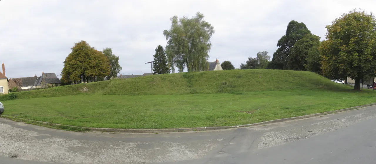
Site archéologique du château de Brûlon
site archéologique
Mérimée ID
PA00135558
French architectural heritage database reference.
Protection
Inscrit (1995)
Status under the French Heritage Act.
Historical notice
Occupation de l'époque gallo-romaine jusqu'à la fin de l'époque médiévale. Nécropole du Haut-Moyen-Age.
Identification & Protection
| Field | Value |
|---|---|
| Mérimée ID | PA00135558 |
| Type | Site archéologique |
| Protection | inscrit MH |
| Protection year | 1995 |
| Period | Gallo-romain;Moyen Age |
| Ownership | propriété de la commune |
| Commune | Brûlon |
| Département | Sarthe |
Protection scope
Site archéologique (cad. AC 479) : inscription par arrêté du 2 novembre 1995
View PA00135558 in the Mérimée database
Other Gallo-romain monuments in Sarthe
- Logis médiéval de Juillé (Juillé) — Site archéologique
- Fanum gallo-romain (vestiges) (Oisseau-le-Petit) — Site archéologique;fanum
- Enceinte gallo-romaine (restes) (Le Mans) — Enceinte
- Zone contenant des vestiges archéologiques (Allonnes) — Site archéologique
- Oppidum dit Camp de Saint-Evroult (Gesnes-le-Gandelin) — Site archéologique;oppidum
- Théâtre gallo-romain de Cherré (Aubigné-Racan) — Théâtre
Heritage typology of Sarthe
| Edifice type | Count |
|---|---|
| église | 101 |
| Château | 76 |
| Manoir | 39 |
| Maison | 35 |
| Voirie | 22 |
| Hôtel | 17 |
| église paroissiale | 15 |
| Chapelle | 11 |
| Prieuré | 9 |
| Menhir | 8 |
| Dolmen | 6 |
| Pont | 5 |
* This monument is a site archéologique — one of 0 in the département.
Location
GPS: 47.9659°N, -0.2331°E (WGS 84).
Source: Ministère de la Culture — base Mérimée. Updated: April 14, 2026.
Geographic location
location_on
Brûlon, Sarthe
Coordinates: 47.9659°N, -0.2331°E