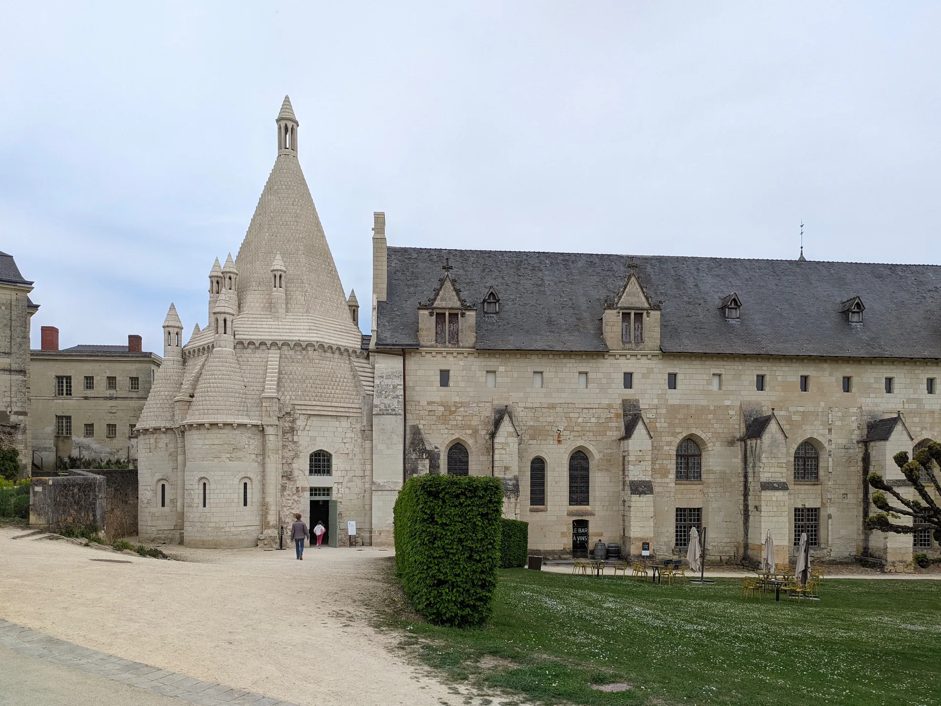
Chapelle Saint-Lazare
chapelle
Mérimée ID
PA00135293
French architectural heritage database reference.
Protection
Inscrit (1995)
Status under the French Heritage Act.
Historical notice
Cette chapelle est un reste d'une léproserie fondée au 12e siècle et réunie au 18e siècle avec l'hôpital de la ville. Construite à l'origine en moyen appareil, elle se compose d'une nef unique terminée par une abside en hémicycle.
Identification & Protection
| Field | Value |
|---|---|
| Mérimée ID | PA00135293 |
| Type | Chapelle |
| Protection | inscrit MH |
| Protection year | 1995 |
| Period | 12e siècle |
| Ownership | propriété de la commune |
| Commune | Buzançais |
| Département | Indre |
Protection scope
Chapelle (cad. AS 35) : inscription par arrêté du 8 mars 1995
View PA00135293 in the Mérimée database
Heritage of Buzançais
3 other protected monuments share this commune.
| Monument | Type | Protection | Year |
|---|---|---|---|
| Chapelle de Beauvais, dite aux Bobines | Chapelle | inscrit MH | 1987 |
| Pavillon dit des Ducs | Château | inscrit MH partiellement | 1995 |
| Monument aux morts de la guerre de 1870-1871 | Monument aux morts | inscrit MH | 2020 |
Other 12e siècle monuments in Indre
- Eglise Saint-Paxent de Cluis (Cluis) — église
- Eglise Notre-Dame de Faverolles (Faverolles) — église
- Prieuré Saint-Vincent (Dun-le-Poëlier) — Prieuré
- Eglise Saint-Cyran de Le Blanc (Le Blanc) — église
- Couvent de la Visitation, dit aussi Château (Issoudun) — Couvent;château
- Ancienne église Notre-Dame (Ecueillé) — église
- Ancienne abbaye Saint-Pierre du Landais (également sur commune de Saint-Martin-de-Lamps) (Frédille) — Abbaye;site archéologique
- Prieuré Saint-Laurent (Palluau-sur-Indre) — Prieuré
Heritage typology of Indre
| Edifice type | Count |
|---|---|
| église | 70 |
| Château | 62 |
| Maison | 22 |
| Dolmen | 9 |
| Chapelle * | 9 |
| Monument aux morts | 8 |
| église paroissiale | 8 |
| Prieuré | 8 |
| Abbaye | 6 |
| Hôtel | 6 |
| Voie ferrée | 5 |
| Porte de ville | 5 |
* This monument is a chapelle — one of 9 in the département.
Location
GPS: 46.8978°N, 1.4196°E (WGS 84).
Source: Ministère de la Culture — base Mérimée. Updated: April 14, 2026.
Geographic location
location_on
Buzançais, Indre
Coordinates: 46.8978°N, 1.4196°E