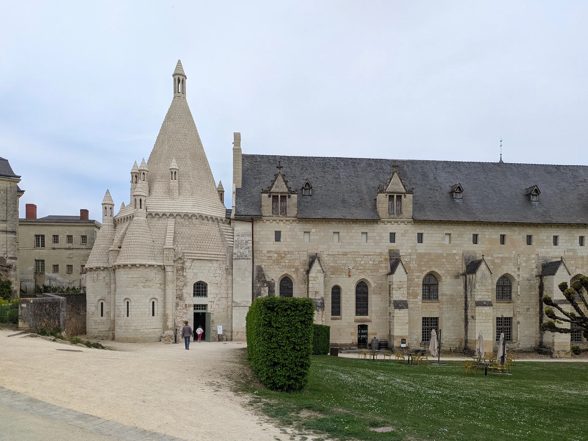
Chapelle Saint-Léonard (anciennement nommée Ferme Saint-Léonard)
chapelle
PA00109560
French architectural heritage database reference.
Classé (1959)
Status under the French Heritage Act.
Historical notice
Petit sanctuaire chrétien de 10 m par 4, 50 m, sur le tracé de l'antique voie romaine reliant Avranches à Jublains. Les élévations pourraient remonter au 12e siècle et la charpente serait du 14e siècle. Les murs portent un décor peint du 14e siècle.
Protection timeline
| Date | Event |
|---|---|
| 7 January 1959 | classé MH |
| 27 February 2003 | inscrit MH |
Identification & Protection
| Field | Value |
|---|---|
| Mérimée ID | PA00109560 |
| Type | Chapelle |
| Protection | classé MH partiellement;inscrit MH partiellement;protection totale |
| Protection year | 1959 |
| Period | 12e siècle;14e siècle |
| Ownership | propriété privée |
| Commune | Mayenne |
| Département | Mayenne |
Protection scope
Les murs supportant des peintures murales (cad. A 212) : classement par arrêté du 7 janvier 1959 – La charpente et la couverture, ainsi que la totalité de la parcelle ZL 12 sur laquelle l'édifice est assis : inscription par arrêté du 27 février 2003
View PA00109560 in the Mérimée database
Heritage of Mayenne
5 other protected monuments share this commune.
| Monument | Type | Protection | Year |
|---|---|---|---|
| Château de Mayenne | Château | inscrit MH | 1927 |
| Hôtel de Mayenne | Hôtel | inscrit MH partiellement | 1929 |
| Chapelle des Calvairiennes | Chapelle | classé MH | 1967 |
| Eglise Saint-Martin de Mayenne | église | inscrit MH | 1984 |
| Palais de Justice de Mayenne | Palais de justice | inscrit MH partiellement | 1994 |
Other 12e siècle monuments in Mayenne
- Ancienne celle grandmontaine de Montguyon (Placé) — Abbaye;site archéologique
- Château de Mayenne (Mayenne) — Château
- Eglise de Bannes (Bannes) — église
- Eglise paroissiale Saint-Sixte (La Chapelle-Rainsouin) — église paroissiale
- Eglise de Varennes-Bourreau (Saint-Denis-d'Anjou) — église;croix de cimetière
- Eglise de Hambers (Hambers) — église
- Eglise Saint-Denis de Saint-Denis-d'Anjou (Saint-Denis-d'Anjou) — église
- Chapelle du Genneteil (Château-Gontier) — Chapelle
Heritage typology of Mayenne
| Edifice type | Count |
|---|---|
| Château | 62 |
| église | 31 |
| Manoir | 17 |
| Maison | 14 |
| Menhir | 14 |
| Chapelle * | 13 |
| Hôtel | 11 |
| église paroissiale | 7 |
| Prieuré | 5 |
| Abbaye | 5 |
| Allée couverte | 4 |
| Fontaine | 4 |
* This monument is a chapelle — one of 13 in the département.
Location
GPS: 48.3156°N, -0.6089°E (WGS 84).
Source: Ministère de la Culture — base Mérimée. Updated: April 14, 2026.
Geographic location
Coordinates: 48.3156°N, -0.6089°E