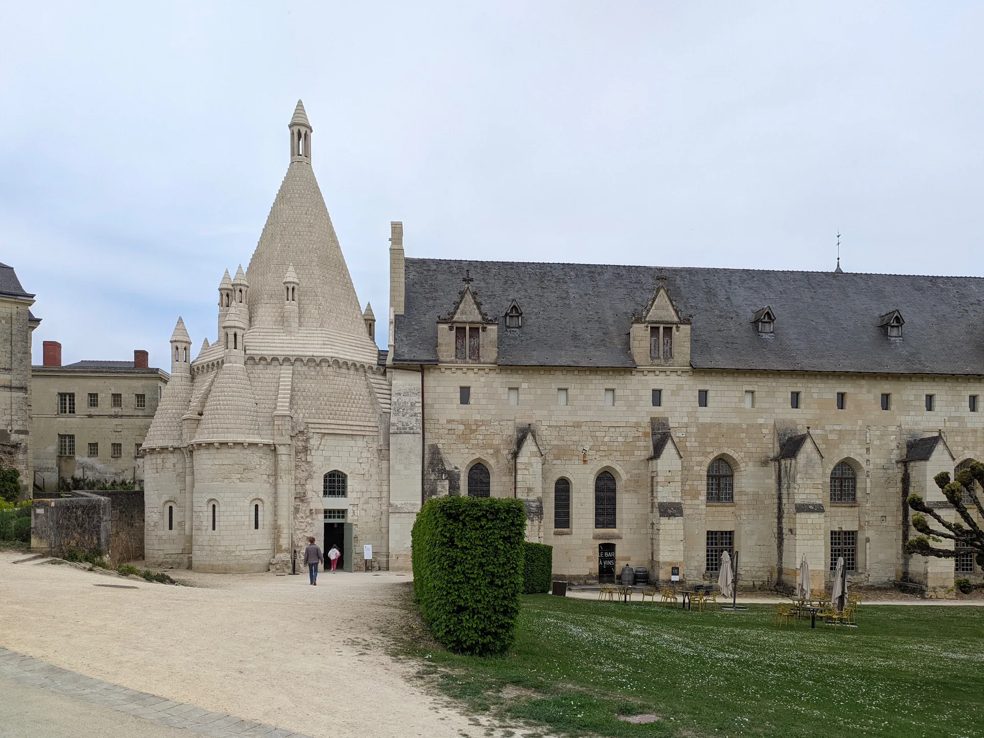
Eglise Saint-Guy de Damvix
église
PA85000017
French architectural heritage database reference.
Inscrit (2000)
Status under the French Heritage Act.
Historical notice
Eglise reconstruite dans les années 1850 par l'architecte Garnereau. Eglise de plan en croix latine, de type basilical, couverte par un berceau en lambris. Modifiée en 1860 par la construction d'un clocher-porche avec une flèche conçue par Victor Clair, architecte départemental. Programme des vitraux par Chapuis, vers 1960. Intervention ponctuelle de Gaston Chaissac
Identification & Protection
| Field | Value |
|---|---|
| Mérimée ID | PA85000017 |
| Type | église |
| Protection | inscrit MH |
| Protection year | 2000 |
| Period | milieu 19e siècle |
| Attributed architect / author | GARNEREAU Auguste (architecte);CLAIR Victor (architecte);CHAPUIS François (peintre-verrier);CHAISSAC Gaston (peintre) |
| Ownership | propriété de la commune |
| Commune | Damvix |
| Département | Vendée |
Protection scope
Eglise (cad. AH 130) : inscription par arrêté du 14 novembre 2000
View PA85000017 in the Mérimée database
Heritage typology of Vendée
| Edifice type | Count |
|---|---|
| église * | 86 |
| Château | 57 |
| Maison | 30 |
| Menhir | 28 |
| Manoir | 15 |
| Dolmen | 13 |
| Pont | 11 |
| Immeuble | 10 |
| Abbaye | 10 |
| Moulin | 8 |
| Prieuré | 7 |
| Phare | 7 |
* This monument is a église — one of 86 in the département.
Location
GPS: 46.3146°N, -0.7332°E (WGS 84).
Source: Ministère de la Culture — base Mérimée. Updated: April 14, 2026.
Geographic location
Coordinates: 46.3146°N, -0.7332°E