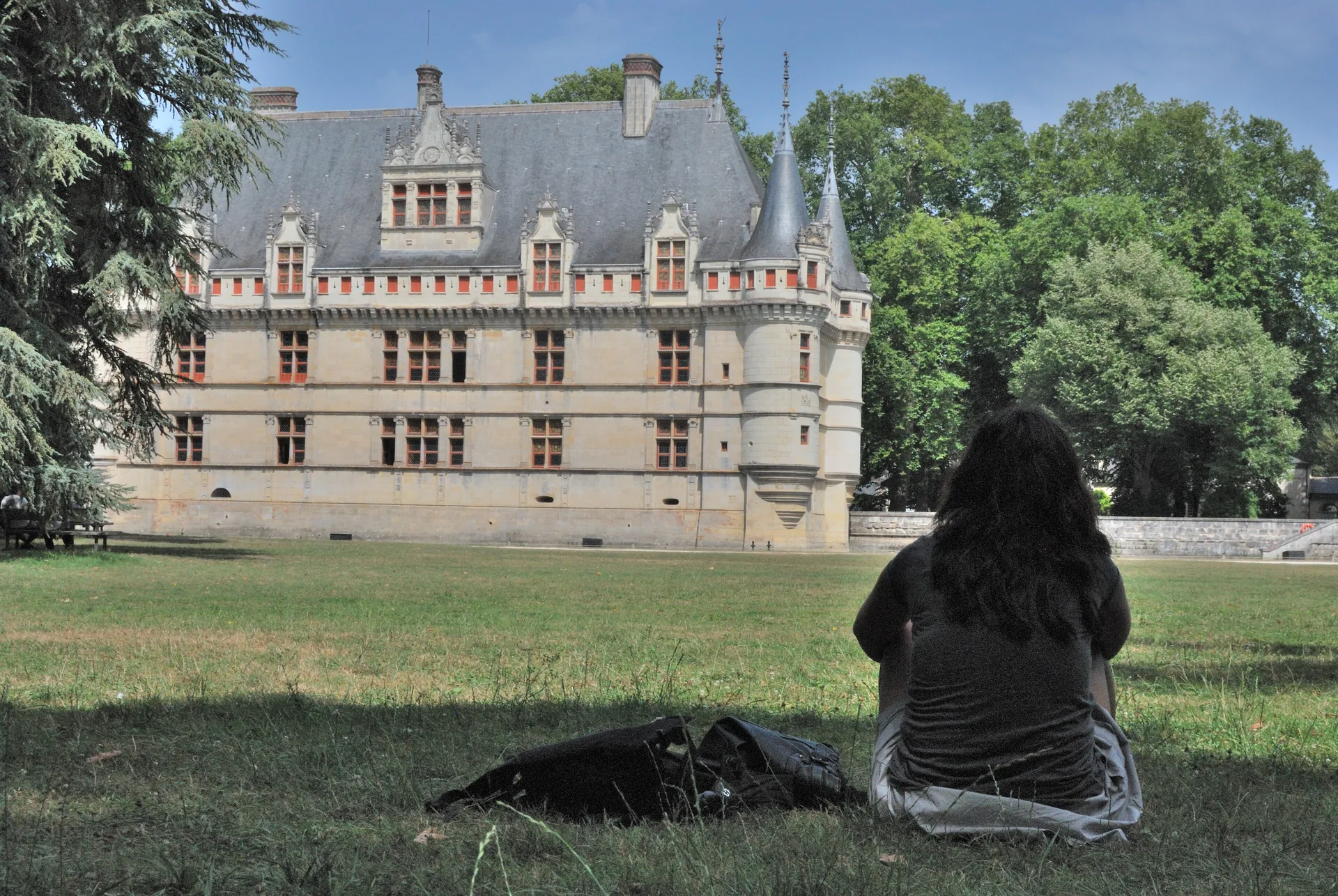
Maison de Bourges
maison
Mérimée ID
PA00096720
French architectural heritage database reference.
Protection
Inscrit (1931)
Status under the French Heritage Act.
Identification & Protection
| Field | Value |
|---|---|
| Mérimée ID | PA00096720 |
| Type | Maison |
| Protection | inscrit MH partiellement |
| Protection year | 1931 |
| Period | 2e moitié 15e siècle |
| Ownership | propriété privée |
| Commune | Bourges |
| Département | Cher |
Protection scope
Façade : inscription par arrêté du 17 avril 1931
View PA00096720 in the Mérimée database
Heritage of Bourges
20 other protected monuments share this commune.
Other 2e moitié 15e siècle monuments in Cher
- Maison à pans de bois, dite maison de la Tournelle (Bourges) — Maison
- Château de Apremont-sur-Allier (Apremont-sur-Allier) — Château
- Eglise Saint-Amand de Saint-Amand-Montrond (Saint-Amand-Montrond) — église
- Château de Maubranche (Moulins-sur-Yèvre) — Château
- Eglise Saint-Martin de Touchay (Touchay) — église
- Château de Béthune de La Chapelle-d'Angillon (La Chapelle-d'Angillon) — Château
- Château de l'Isle-sur-Arnon (Touchay) — Château
- Immeuble de Bourges (Bourges) — Immeuble
Heritage typology of Cher
| Edifice type | Count |
|---|---|
| église | 104 |
| Château | 70 |
| Maison * | 70 |
| Hôtel | 12 |
| Abbaye | 7 |
| église paroissiale | 6 |
| Chapelle | 5 |
| Prieuré | 5 |
| Couvent | 5 |
| Manoir | 4 |
| édifice fortifié | 4 |
| Magasin de commerce | 3 |
* This monument is a maison — one of 70 in the département.
Location
GPS: 47.0866°N, 2.3954°E (WGS 84).
Source: Ministère de la Culture — base Mérimée. Updated: April 14, 2026.
Geographic location
location_on
Bourges, Cher
Coordinates: 47.0866°N, 2.3954°E