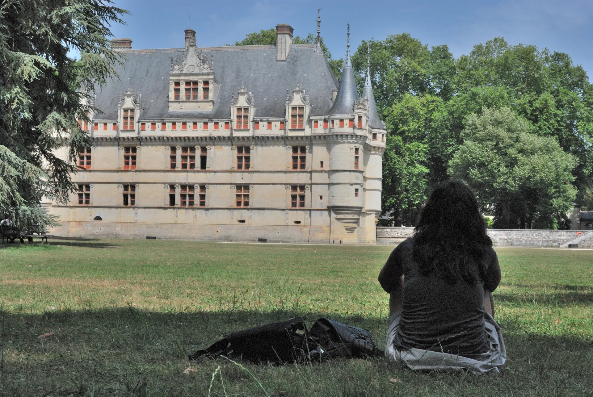
Vestiges du donjon de Fréteval
édifice fortifié
Mérimée ID
PA00098446
French architectural heritage database reference.
Protection
Inscrit (1926)
Status under the French Heritage Act.
Historical notice
La tour a été sapée à l'époque de la Guerre de Cent ans.
Identification & Protection
| Field | Value |
|---|---|
| Mérimée ID | PA00098446 |
| Type | édifice fortifié |
| Protection | inscrit MH |
| Protection year | 1926 |
| Period | Moyen Age |
| Ownership | propriété privée |
| Commune | Fréteval |
| Département | Loir-et-Cher |
Protection scope
Donjon (vestiges) (cad. AC 96) : inscription par arrêté du 13 février 1926
View PA00098446 in the Mérimée database
Heritage of Fréteval
3 other protected monuments share this commune.
| Monument | Type | Protection | Year |
|---|---|---|---|
| Vestiges archéologiques | Site archéologique | inscrit MH | 1948 |
| Ancien manoir de Beauregard | Manoir | inscrit MH partiellement | 1948 |
| Dolmen dit des Louettes, de Bellesort ou de Fontaine | Dolmen | classé MH | 1979 |
Other Moyen Age monuments in Loir-et-Cher
- Restes de l'ancien prieuré (Mennetou-sur-Cher) — Prieuré
- Pont "Saint-Michel" et ponts sur le Cosson dits "chastrés" ou "chartrains" (également sur communes de Saint-Gervais-la-Forêt et Vineuil) (Blois) — Pont
- Tour de Montrichard (Montrichard) — édifice fortifié
- Vestiges de la tour de Vievy-le-Rayé (Vievy-le-Rayé) — édifice fortifié
- Manoir de Laleu de Chouzy-sur-Cisse (Chouzy-sur-Cisse) — Manoir
- Tour Jacquemard de Romorantin-Lanthenay (Romorantin-Lanthenay) — édifice fortifié
- Vestiges de fortifications de ville (Mondoubleau) — Fortification d'agglomération
- Ancien prieuré Saint-Gilles (Montoire-sur-le-Loir) — Chapelle
Heritage typology of Loir-et-Cher
| Edifice type | Count |
|---|---|
| église | 96 |
| Château | 74 |
| Maison | 70 |
| Manoir | 14 |
| Dolmen | 12 |
| Hôtel | 11 |
| Prieuré | 9 |
| Chapelle | 9 |
| église paroissiale | 7 |
| Pont | 7 |
| Abbaye | 7 |
| édifice fortifié * | 6 |
* This monument is a édifice fortifié — one of 6 in the département.
Location
GPS: 47.8854°N, 1.2114°E (WGS 84).
Source: Ministère de la Culture — base Mérimée. Updated: April 14, 2026.
Geographic location
location_on
Fréteval, Loir-et-Cher
Coordinates: 47.8854°N, 1.2114°E