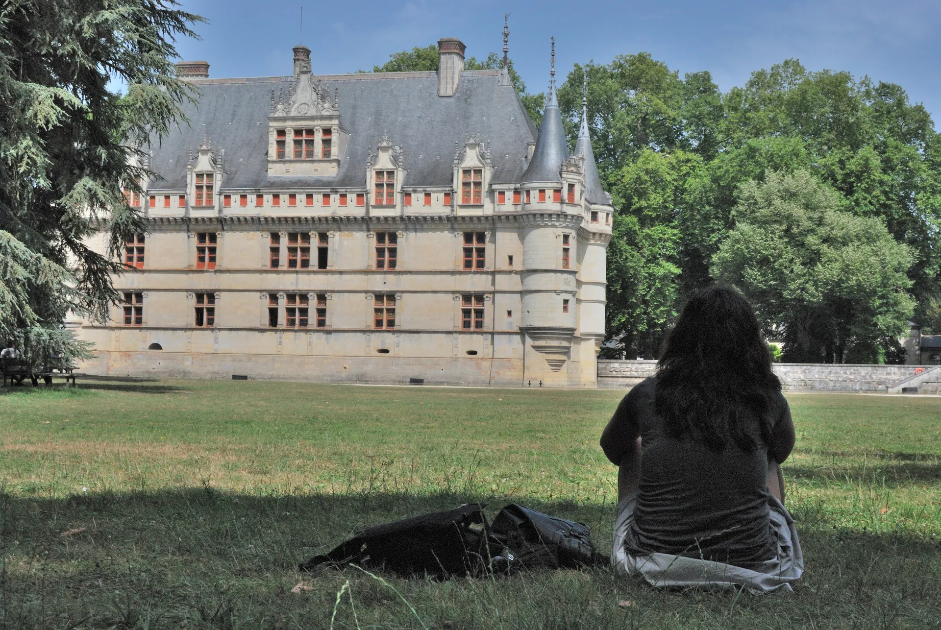
Tour Jacquemard de Romorantin-Lanthenay
édifice fortifié
Mérimée ID
PA00098559
French architectural heritage database reference.
Protection
Inscrit (1932)
Status under the French Heritage Act.
Historical notice
Cette tour commandait un ancien pont dont les piles sont visibles à très basses eaux, qui faisait communiquer la ville avec l'ile Marin. Elle est le dernier vestige de la première enceinte fortifiée, antérieure au 11e siècle.
Identification & Protection
| Field | Value |
|---|---|
| Mérimée ID | PA00098559 |
| Type | édifice fortifié |
| Protection | inscrit MH |
| Protection year | 1932 |
| Period | Moyen Age |
| Ownership | propriété privée |
| Commune | Romorantin-Lanthenay |
| Département | Loir-et-Cher |
Protection scope
Tour Jacquemard : inscription par arrêté du 16 mars 1932
View PA00098559 in the Mérimée database
Heritage of Romorantin-Lanthenay
10 other protected monuments share this commune.
| Monument | Type | Protection | Year |
|---|---|---|---|
| Maison en bois dite Le Carroir Doré, au Carroir Doré | Maison | classé MH partiellement | 1910 |
| Eglise Notre-Dame, puis Saint-Etienne de Romorantin | église paroissiale | classé MH partiellement;inscrit MH partiellement;protection totale | 1911 |
| Ancien hôtel Saint-Pol ou maison dite de François Ier | Hôtel | classé MH | 1912 |
| Maison en pans de bois ou Hôtel de la Chancellerie | Maison | classé MH | 1913 |
| Maison Louis XIII de Romorantin-Lanthenay | Maison | inscrit MH partiellement | 1926 |
| Sous-Préfecture de Romorantin-Lanthenay | Sous-préfecture | classé MH partiellement | 1932 |
| Ancienne église de Monthault | église | inscrit MH | 1936 |
| Maison à pans de bois | Maison | inscrit MH partiellement | 1948 |
| Hôtel Lionel-Normant, actuellement hôtel de ville | Hôtel | inscrit MH partiellement | 1994 |
| Usine Normant, actuellement usine Matra Automobile | Usine textile;usine de construction métallique | inscrit MH partiellement | 2002 |
Other Moyen Age monuments in Loir-et-Cher
- Restes de l'ancien prieuré (Mennetou-sur-Cher) — Prieuré
- Tour de Montrichard (Montrichard) — édifice fortifié
- Pont "Saint-Michel" et ponts sur le Cosson dits "chastrés" ou "chartrains" (également sur communes de Saint-Gervais-la-Forêt et Vineuil) (Blois) — Pont
- Manoir de Laleu de Chouzy-sur-Cisse (Chouzy-sur-Cisse) — Manoir
- Vestiges de fortifications de ville (Mondoubleau) — Fortification d'agglomération
- Vestiges de la tour de Vievy-le-Rayé (Vievy-le-Rayé) — édifice fortifié
- Ancien prieuré Saint-Gilles (Montoire-sur-le-Loir) — Chapelle
- Vestiges du donjon de Fréteval (Fréteval) — édifice fortifié
Heritage typology of Loir-et-Cher
| Edifice type | Count |
|---|---|
| église | 96 |
| Château | 74 |
| Maison | 70 |
| Manoir | 14 |
| Dolmen | 12 |
| Hôtel | 11 |
| Prieuré | 9 |
| Chapelle | 9 |
| église paroissiale | 7 |
| Pont | 7 |
| Abbaye | 7 |
| édifice fortifié * | 6 |
* This monument is a édifice fortifié — one of 6 in the département.
Location
GPS: 47.3577°N, 1.7434°E (WGS 84).
Source: Ministère de la Culture — base Mérimée. Updated: April 14, 2026.
Geographic location
location_on
Romorantin-Lanthenay, Loir-et-Cher
Coordinates: 47.3577°N, 1.7434°E