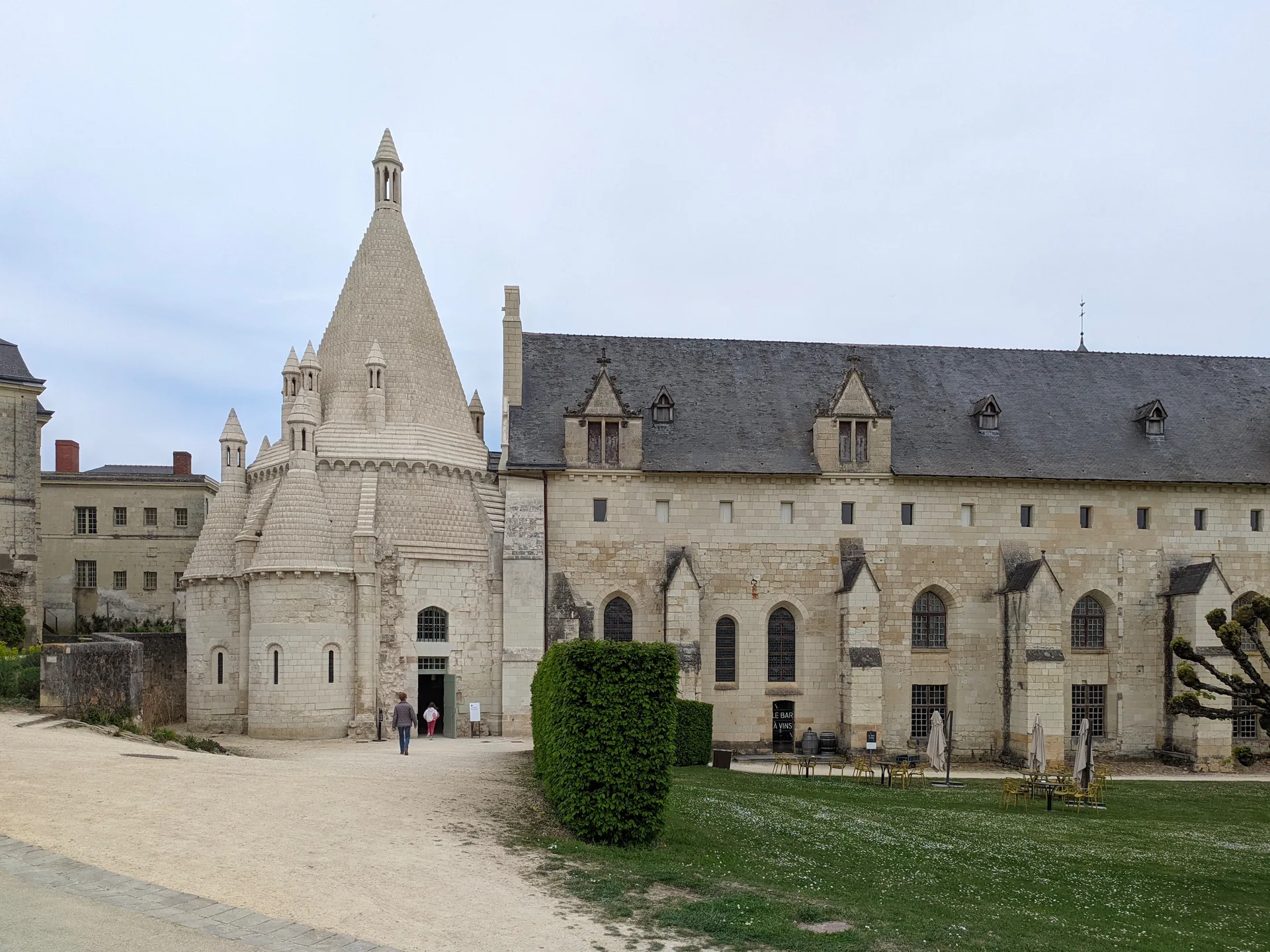
Eglise Saint-Laurent de Nogent-le-Rotrou
église
Mérimée ID
PA00097176
French architectural heritage database reference.
Protection
Inscrit (1927)
Status under the French Heritage Act.
Identification & Protection
| Field | Value |
|---|---|
| Mérimée ID | PA00097176 |
| Type | église |
| Protection | inscrit MH |
| Protection year | 1927 |
| Period | 15e siècle;16e siècle |
| Ownership | propriété de la commune |
| Commune | Nogent-le-Rotrou |
| Département | Eure-et-Loir |
Protection scope
Eglise Saint-Laurent : inscription par arrêté du 9 juillet 1927
View PA00097176 in the Mérimée database
Heritage of Nogent-le-Rotrou
11 other protected monuments share this commune.
| Monument | Type | Protection | Year |
|---|---|---|---|
| Eglise Notre-Dame de Nogent-le-Rotrou | église | classé MH partiellement | 1907 |
| Maison dite du Bailli | Maison | classé MH partiellement | 1926 |
| Maison de Nogent-le-Rotrou | Maison | inscrit MH partiellement | 1930 |
| Château Saint-Jean de Nogent-le-Rotrou | Château | classé MH partiellement;inscrit MH partiellement;protection totale | 1948 |
| Ancienne abbaye Saint-Denis | Abbaye | inscrit MH | 1948 |
| Manoir dit La Grande Maison | Manoir | inscrit MH | 1949 |
| Maison de Nogent-le-Rotrou | Maison | inscrit MH partiellement | 1972 |
| Hôpital-hospice (ancien Hôtel-Dieu) | Hôpital;hospice;hôtel-Dieu | inscrit MH partiellement | 1990 |
| Immeuble ou maison Coulon (anciennement dite de l'Ecu de Bretagne) | Immeuble | inscrit MH partiellement | 1993 |
| Eglise Saint-Hilaire de Nogent-le-Rotrou | église paroissiale | classé MH | 2003 |
| Monument de Paul Deschanel | Monument | inscrit MH | 2025 |
Other 15e siècle monuments in Eure-et-Loir
- Eglise Saint-Nicolas de Brezolles (Brezolles) — église
- Eglise paroissiale Saint-Eloi-Saint-Jean-Baptiste (Crécy-Couvé) — église
- Ancienne église du Réveillon (La Ferté-Vidame) — église
- Eglise Saint-Georges de Ymeray (Ymeray) — église
- Ancienne abbaye de Coulombs (Lèves) — Abbaye
- Ancienne grange dîmière (Cormainville) — Grange aux dîmes
- Ancienne chapelle dite Notre-Dame du Champdé (Châteaudun) — Chapelle
- Château de Nogent-le-Roi (Nogent-le-Roi) — Château
Heritage typology of Eure-et-Loir
| Edifice type | Count |
|---|---|
| église * | 99 |
| Château | 60 |
| Immeuble | 45 |
| Maison | 41 |
| Moulin | 11 |
| Monument | 7 |
| Abbaye | 7 |
| Manoir | 6 |
| église paroissiale | 6 |
| Dolmen | 6 |
| Chapelle | 5 |
| édifice fortifié | 5 |
* This monument is a église — one of 99 in the département.
Location
GPS: 48.3168°N, 0.8148°E (WGS 84).
Source: Ministère de la Culture — base Mérimée. Updated: April 14, 2026.
Geographic location
location_on
Nogent-le-Rotrou, Eure-et-Loir
Coordinates: 48.3168°N, 0.8148°E